
Bicycle Tour Da Falls… or Not

 I decided to bike to some water falls.  When I googled waterfalls near me, there were quite a few.  It appeared the closest one in the cluster was Kakabika Falls near Watersmeet and White City.

I packed up last night and then put my bike bags in the van so I could get an early start.  Google said the falls was 44 miles away and then I have to bike to a campsite which is another 12 miles.

This morning I was up and loading the bike by 6:00 a.m. a bit nervous.  I am used to using googlemaps for getting around.  But what happens if I need to re-configure my route and I don't have cell service?  I don't have a paper map, and if I did, even the detail maps don't tell me what roads are passable or bike friendly.

Last night I made a turn-by-turn list for me to follow.


First I moved the van to make it harder to steal Lilac if some bad person was so inclined.  I almost knocked over the bike!  


Starting from the campground I couldn’t get around doing some miles on Hwy 51.  A two foot shoulder and fast traffic.  I was much more relaxed once I got on the lower traffic County Highway M.

I met up with a Villas County trail along M. The are not rail trails and are hilly and curvy.  The hills are steep and require anticipating the gearing.  If you don't get it right, you will be walking up the hill.

Sorry about the order of the pictures.  I am doing this on my phone while sipping a lemonade.  My iPhone is putting all the pictures at the top.  I have to cut and paste them to the right location.  Not going to happen right now.  I am taking a break from the ride after I hit a snag.  


I was only about 17 miles from my first destination, Kakabika Falls..  I was anticipating riding by the Notre Dam Environmental Education Center and their church.  But went I arrived at Nortre Dam road there was a sign telling me it was a private road and there is a gate to keep me out.  

At this location my phone didn’t have service.  I saw two young boys pull into a yard with their small ATV's.  I followed them into their yard and found their parents outside too.  I asked them how to get to Hwy 2.  The man showed me his cell phone had the map and he told me. I would have to retrace my route, go East and then North.  I was tired already and this detour might add 10 miles.  

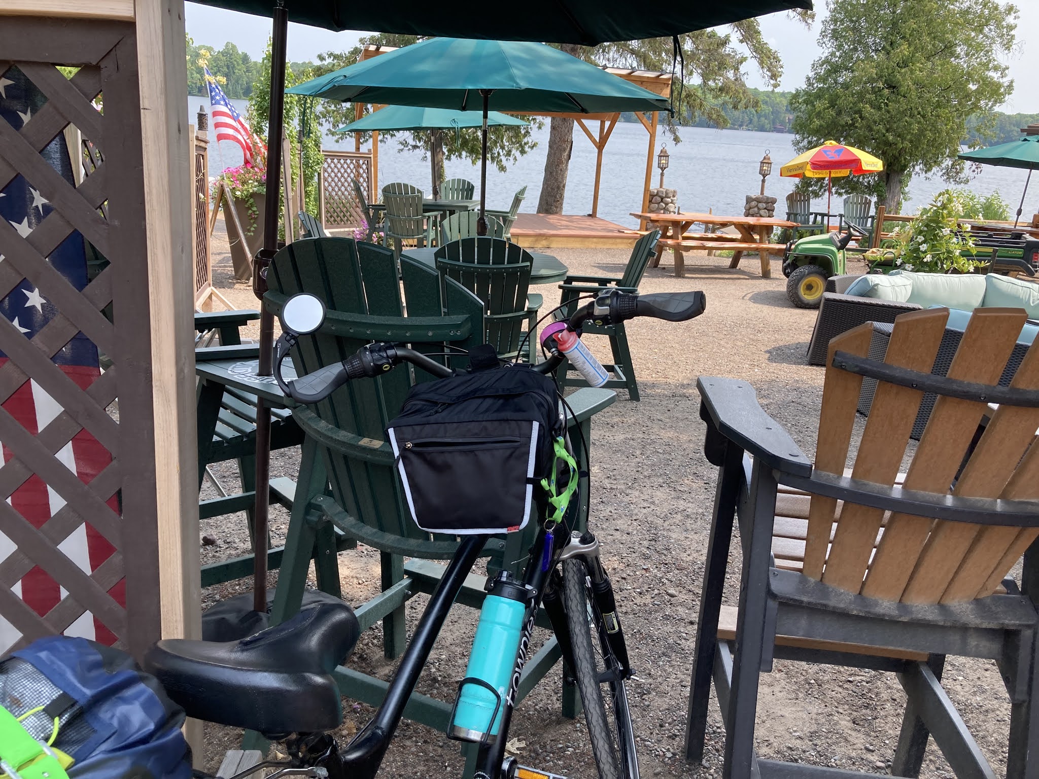
On the detour I stopped at a sign pointing down a road to a resort and restaurant.  I debated, but decided to pull in.  I am taking a break .  It is 11:00 a.m.  I am going with the the flow.  This is a nice place to sit and write to you!  If they had camp sites, I might even stay!  I have cell phone service!

Bents camp resort.  


Comments

  1. You go girl!! Looks beautiful

    ReplyDelete
  2. It was a rough day, Joan. I am going to count up my miles, since I don't have a speedometer.

    ReplyDelete

Post a Comment

Popular posts from this blog

Count Down to Book Launch - 1 more day! Giving Tuesday

December 3, 2019 Good Morning! Brrrr, it is a cold one here in central Florida!  Freezing in parts of Citrus County. Only ONE MORE DAY to the launch of the second book, THE JOURNEY CONTINUES! The 6th Annual Coping with Dementia Conference is January 22nd.  If you are a caregiver or know someone with dementia, this is a great resource to learn more about the illness and the resources available in Citrus County and beyond. Launch Celebrations 

Slooowly making my way to Wisconsin, but first this, and this, and this.

Greetings!  I am back in the lovely state of New York. This will be a long post with a lot of pictures.  So skim if you want.  I just wanted you to know I am still thinking of you and wanting to share the sites with you. I am on my way to Wisconsin.  I have been on my way, kind of, since I left Florida in late April.  But I took a few side trips.  I wanted to see New York and Vermont and see friends in Canada.  I wanted to spend time with Steve, I wanted to see Steve's New York home, and I wanted to meet his extended family. Right now I am near Niagara Falls on the American side. My friends, Jean and Keith are in a motel near my campground to visit me.  I had planned on writing to you today. It will be my last chance to connect with you until after Steve and I return to his home to prepare for the Gap and C&O ride. In between, there will be lots of days of driving, a full week of riding in Wisconsin as Steve and I do a little tour,   and lots of site-seeing and visiting friends

The Lovely Finger Lakes Region, NY

Greetings from the Watkins Glen Public Library. The library is in the same building as  the  International Motor Racing Research Center .   Watkins Glen, NY has a 6.6 mile racing route. Watkins Glen State Park Watkins Glen State Park, where I am camped, is on a hill above town.   When I drove in to get to my camping spot I saw a lot of the same brand of campers throught the campground.  Altos were having a gathering.  I had researched these campers when I was dreaming of driving the country.  They are made in Canada and currently there is a two year wait to receive one once you order it. The first morning I was in the park, I drove part-way down the hill and then walked the Gorge, which is a big feature of this park. The instructions on the campground map was to stay to the right of a pond and then go down "Coaches Staircase". While I walked the Gorge trail, I kept saying "WOW!".  The CCC's had created the stone stairs and walkways. Then I remembered Steve compa